Navigating throughout the world!
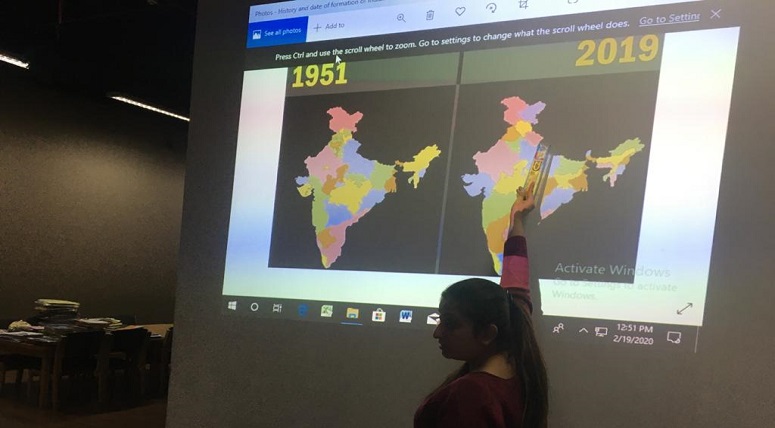
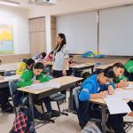
Aiming to provide a cultivating environment that maximizes development and delight among students, a library session was held for the young learners of Grade 3 (South Africa), in which an ‘Atlas Search’ activity was conducted. Students were provided with an opportunity to explore the world through Atlas and understand the basic features of a map. They compared and analysed different types of maps. Students also observed two different political maps of India from different time periods to understand how India’s physical appearance has changed over time. Students were briefed about Global Positioning Systems (GPS) and learned the names of navigation systems used by different countries. Students were also involved in a research work. They researched some facts and details about five different countries from each continent using an e-book. At the end of the session, a hand-out on Road maps and GPS was given to each student.
